Cycling path 4 : Tour of the Communals - 5 mi
in Saint-Hippolyte
7.9
km
30min
Easy
-
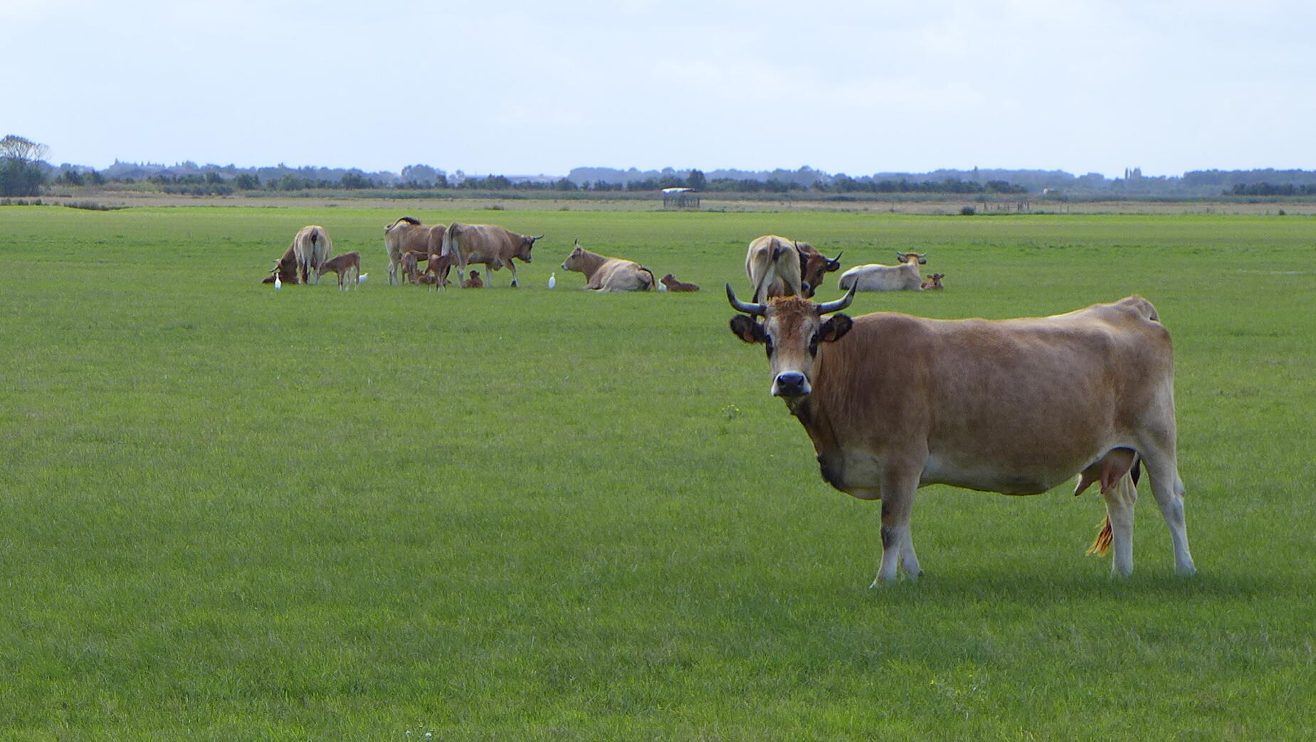
Depart from the town of St Hippolyte to reach the more natural landscapes of the banks of the Charente. The suspension bridge is then revealed, as are the quays of Tonnay-Charente.
- See all reviews
- Points of interest
- 33 meters of difference in height
-
- Start altitude : 6 m
- End altitude : 6 m
- Maximum altitude : 8 m
- Minimum altitude : 1 m
- Total positive elevation : 33 m
- Total negative elevation : -33 m
- Max positive elevation : 1 m
- Min positive elevation : -2 m
