See photos (3)

The Bridges Loop - 15 mi

in Rochefort
23.7 km
1h 30min
Medium
  • A picturesque walk between the Charente estuary and the marshes. Cross the Charente twice over some truly remarkable bridges!
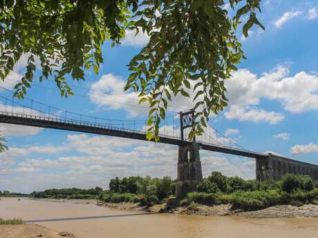
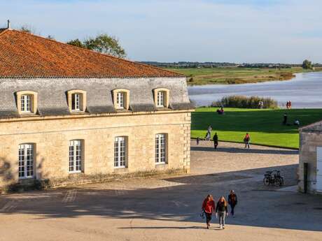
  • The Boucle des Ponts, a 15 mi cycle route, invites you to rediscover the charm of the Charente through a unique journey. Whether you’re a nature lover or a history buff, this route offers a chance to immerse yourself in an idyllic setting, nestled between marshes and the estuary.

    You can set off from the Transbordeur bridge on the Rochefort side, where you’ll be guided onto the Charente viaduct cycle path. Once in Échillais, simply follow the signs marked with the “Boucle des Ponts” logo to...
    The Boucle des Ponts, a 15 mi cycle route, invites you to rediscover the charm of the Charente through a unique journey. Whether you’re a nature lover or a history buff, this route offers a chance to immerse yourself in an idyllic setting, nestled between marshes and the estuary.

    You can set off from the Transbordeur bridge on the Rochefort side, where you’ll be guided onto the Charente viaduct cycle path. Once in Échillais, simply follow the signs marked with the “Boucle des Ponts” logo to reach the Tonnay-Charente suspension bridge. From there, simply follow the “Vélodyssée / Flow vélo” signposts towards Rochefort.

    Between April and October: you can cross via the Transbordeur bridge instead of the viaduct (subject to a fee).
  • Difference in height
    90.25 m
  • Documentation
    GPX / KML files allow you to export the trail of your hike to your GPS (or other navigation tool)
Points of interest
90 meters of difference in height
  • Start altitude : 3 m
  • End altitude : 3 m
  • Maximum altitude : 24 m
  • Total positive elevation : 90 m
  • Total negative elevation : -90 m
  • Max positive elevation : 20 m
  • Min positive elevation : -18 m