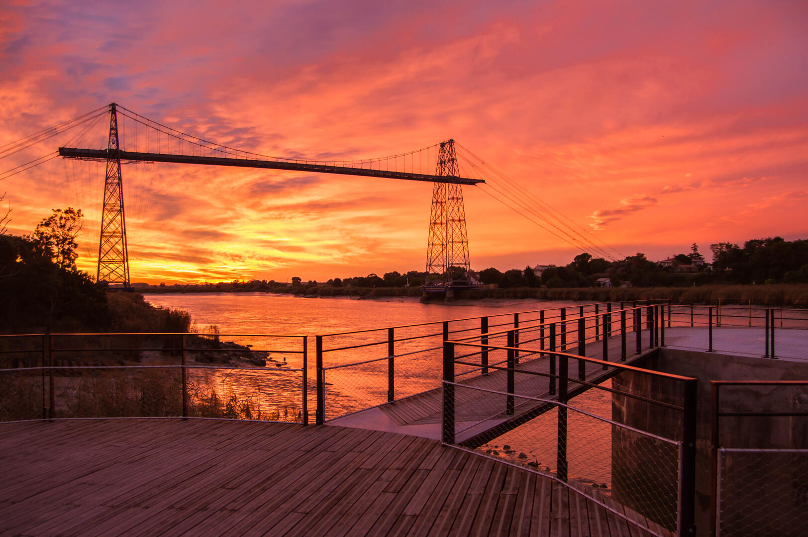
Cycling path 8 : Aquaducts tour - 11.2 mi
in Tonnay-Charente
15.6
km
55min
Medium
-
Forming, at the time of the Arsenal, the hinterland of Rochefort, this territory supplied the Royal city with food and drinking water (aqueducts, water tower, etc.). A tradition of market gardening and animal husbandry has shaped these landscapes.
- See all reviews
- Points of interest
- 125 meters of difference in height
-
- Start altitude : 3 m
- End altitude : 3 m
- Maximum altitude : 29 m
- Minimum altitude : 1 m
- Total positive elevation : 125 m
- Total negative elevation : -125 m
- Max positive elevation : 19 m
- Min positive elevation : -17 m