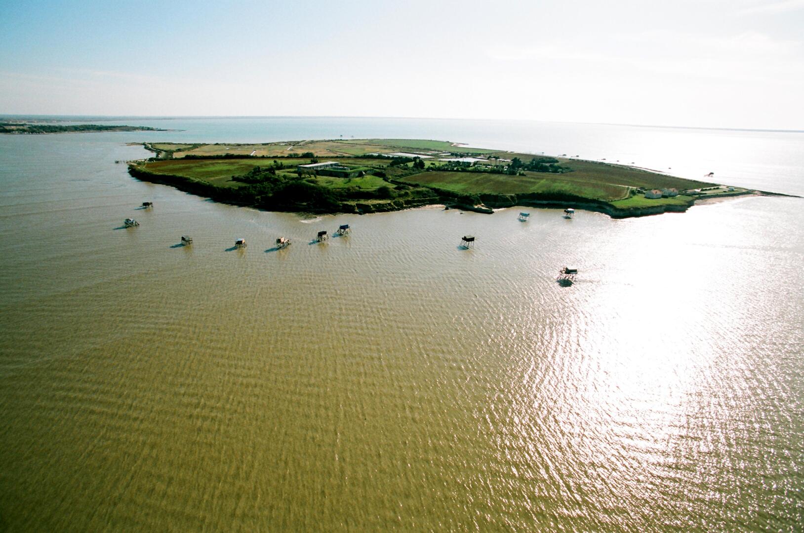
An ideal route to appreciate the remarkable landscapes of the Grand Site. Through its island extension (L'île Madame), the left bank of the Charente estuary was part of the defense and supply of the Arsenal: Fort Lupin, Fontaine Lupin, Redoute de l'île Madame... Facing the sea, oyster farming and plaice fishing hold a prominent place in unspoiled nature.
GPX / KML files allow you to export the trail of your hike to your GPS (or other navigation tool)
See all reviews
Points of interest
1Île Madame and Passe aux Boeufs
2La Croix aux Galets (The Pebble Cross)
3The fort of Ile Madame
4The aquaculture farm
1Île Madame and Passe aux Boeufs
2La Croix aux Galets (The Pebble Cross)
Located on the site of a burial ground where 4 bodies had been laid out in the shape of a cross, it symbolises the martyrdom of the 254 refractory priests who died during the French Revolution. Every year, a pilgrimage honours their memory: many pebbles are added to the cross on this occasion.
3The fort of Ile Madame
From the end of the 17th century, 2 batteries protected the Passes aux Filles and aux Boeufs. The threat of an enemy landing justified the construction of a fortification.