Walking tour: Farm and hamlets 4.9 mi
in Moragne
8.7
km
2h 30min
Easy
-
Explore the rural landscapes to the east of the city: from shaded paths to vast open countryside.
-
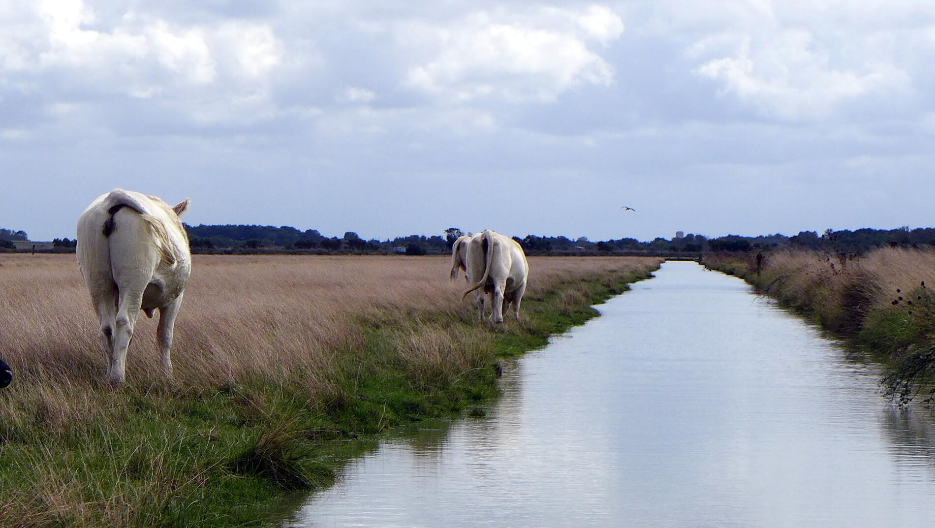
Away from the main roads, this walk will plunge the hiker at the heart of a rich rural territory with memories and full of architectural surprises sometimes forgotten. From hamlets to farms, discover a culture and heritage.
Along the way, you will see:
- The black kite: The hamlet of Boisrond overlooks the Genouillé marsh, where tall trees provide shelter for the nests of white storks and black kites. Both species have been protected under the European Union’s Birds Directive since 1979....Away from the main roads, this walk will plunge the hiker at the heart of a rich rural territory with memories and full of architectural surprises sometimes forgotten. From hamlets to farms, discover a culture and heritage.
Along the way, you will see:
- The black kite: The hamlet of Boisrond overlooks the Genouillé marsh, where tall trees provide shelter for the nests of white storks and black kites. Both species have been protected under the European Union’s Birds Directive since 1979. The black kite is an elegant bird of prey with a wingspan of 150 cm, recognisable by its notched tail. It winters in Africa, south of the Sahara, and nests in North Africa and Europe. This species begins to return to our region in mid-February, and all individuals have returned by mid-March. They will set off on their migration together again in early August. It is a ‘gregarious’ bird of prey: it nests in small, loose colonies, and once the young have fledged, it sleeps in groups in the trees: ‘in roosts’. It has a very varied diet: rodents, carrion...
- See all reviews
- Points of interest
1
Church of Our Lady of the Assumption
2
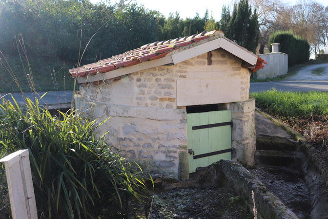
Saint Lucia Fountain
3
The hamlet of La Charbonnière
- 88 meters of difference in height
-
- Start altitude : 46 m
- End altitude : 46 m
- Maximum altitude : 58 m
- Minimum altitude : 4 m
- Total positive elevation : 88 m
- Total negative elevation : -88 m
- Max positive elevation : 26 m
- Min positive elevation : -32 m
